
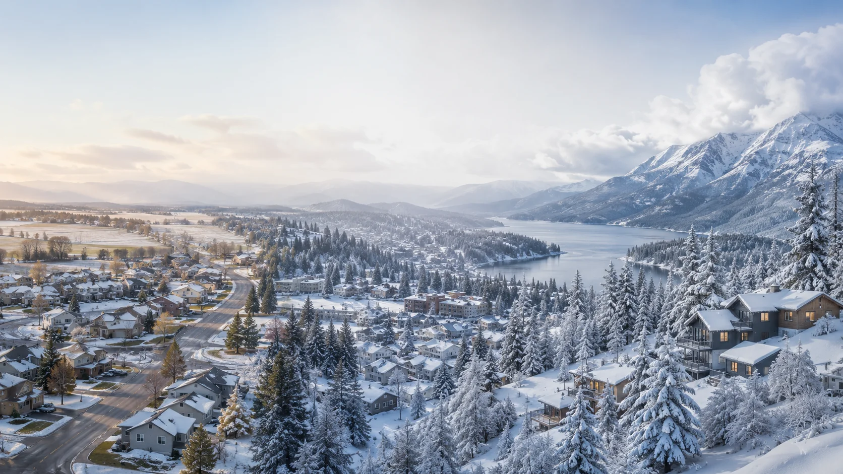
Ask two people how much it snows in North Idaho and you'll get two different answers — because they're probably living in two different climates without knowing it. A buyer who landed in Post Falls will tell you winter is mild, manageable, nothing like what they expected. A buyer who bought a few acres north of Sandpoint might tell you they didn't realize what they were signing up for.
Both are right. North Idaho spans roughly 100 miles from the Rathdrum Prairie to the Canadian border, and snowfall across that distance triples. This ranking pulls from NOAA NCEI 1991–2020 climate normals, NWS Spokane Forecast Office data, and NRCS SNOTEL network readings — not estimates or marketing. The point isn't to scare anyone away from the snowier parts. It's to make sure buyers know what they're choosing, and what equipment budget goes with that choice.
Snow is one factor in the location decision. For everything else — home prices, taxes, schools, and commutes — the full North Idaho relocation guide covers it all.
The Full Ranking: Lightest to Heaviest
All figures are annual average snowfall at town or community elevation. Mountain resort numbers are separate — those are covered in a later section.
Annual Average Snowfall — Town Elevation
Source: NOAA NCEI / NWS Spokane
Zone 1: The Rathdrum Prairie Floor (Ranks 1–3)
The Rathdrum Prairie — Post Falls, Rathdrum, Hayden, and the flatter portions of Coeur d'Alene — sits at roughly 2,100–2,200 feet in a wide valley that catches Pacific storm systems only after they've lost most of their moisture against the Cascades and the higher Idaho Panhandle elevations. The result is 40 to 45 inches per year at the valley floor, arriving in moderate doses that typically melt between events.
In a typical winter, zone 1 towns see snow that stays on the ground for 30 to 60 days total— but usually in two or three separate stretches rather than one unbroken blanket. December brings the first sticking snow, January and February alternate between accumulation and partial thaw, and by mid-March most lawns are visible again. Out-of-state buyers who move here from California or Arizona often describe their first winter as manageable — and they're not wrong.
For residential lots inside city limits, a single-stage snowblower handles most storms. The City of Coeur d'Alene doesn't initiate plowing until 4 to 5 inches accumulate — which tells you something about the typical event size. The one exception is rural acreage with a driveway longer than a quarter mile, or properties on private roads off Highway 41 or toward Twin Lakes, where a compact tractor starts to earn its keep.
Zone 2: The Middle Belt (Ranks 4–6)
St. Maries, Kellogg, and Bonners Ferry form a transitional zone that buyers often underestimate. None of these towns is in a ski resort brochure, but all three average 58 to 63 inches of snow annually — 40 to 55 percent more than the prairie floor.
Zone 2 Towns — What Makes Each Different
St. Maries (Benewah County)
Sits in the St. Joe River valley at about 2,650 feet. The St. Joe River drainage funnels moisture inland from the west, boosting snowfall well above the prairie. St. Maries' elevation and valley positioning produce consistent winter snowfall without the lake-effect amplification of Bonner County.
Kellogg (Shoshone County)
Elevation 2,307 feet in the Silver Valley. Kellogg is just below Wallace on the snowfall chart because it sits slightly lower and the valley is wider — though Silver Mountain directly above the town pulls in 150–200 inches, underscoring how rapidly snowfall climbs with elevation here.
Bonners Ferry (Boundary County)
Idaho's northernmost major town at roughly 1,765 feet. Bonners Ferry benefits from northern air masses but sits in a wide valley that limits orographic enhancement. The Kootenai River floodplain geography keeps town-level snowfall moderate despite its latitude.
Zone 2 properties benefit from AWD or 4WD, a two-stage snowblower, and — for rural acreage — a tractor with a blade or blower attachment. Ground cover duration is longer here, typically 50 to 80 days, and older structures are worth inspecting for snow load adequacy before you make an offer.
Zone 3: The Heavy Snow Zone (Ranks 7–10)
Sandpoint, Priest River, Wallace, and the Priest Lake area sit in a different category — not just a higher number on the same scale, but a genuinely different winter management reality. Seventy to 120 inches annually means ground cover from mid-December through early to mid-March without interruption. Snow stacks rather than melts between storms. Roof loads matter. Berm management at the end of driveways matters. Whether your propane tank fill and septic riser are reachable in February matters.
Sandpoint: The gateway to the heavy snow zone
Sandpoint's 70.3-inch annual average reflects the town at lake level — but the geography explains why it's only the entry point to the heavy zone, not the ceiling. Lake Pend Oreille, the deepest lake in Idaho, acts as a moisture reservoir that feeds lake-effect snow onto the north shore. The Selkirk and Cabinet ranges rise directly behind town, producing textbook orographic lift. Those two mechanisms don't exist on the Rathdrum Prairie 45 minutes south.
For an in-town Sandpoint lot on a city-plowed street, a two-stage snowblower and AWD are the practical minimums. For rural acreage in Sagle, Dover, Ponderay, or anywhere up the highway, a tractor with a front blade becomes a necessity, not a luxury. The Rathdrum Prairie vs. Sandpoint micro-climate breakdown goes deeper on the geography behind these numbers.
Wallace: The canyon that outsnows Sandpoint
Wallace is the surprise entry in the top three. It sits at 2,750 feet in a narrow Silver Valley canyon — roughly 650 feet higher than Sandpoint and 500 feet higher than Kellogg. That elevation differential is the key: orographic lift against the canyon walls and consistent moisture tracking up the St. Joe drainage produce 73 to 82 inches of annual snowfall despite the town being less famous for winter than Sandpoint. Wallace is also one of the best-preserved historic mining towns in the West, which means older structures that buyers should specifically vet for snow load capacity.
Priest River and Priest Lake: Where the numbers go north
Priest River averages 72 to 81 inches at town level. The Priest Lake area, 40 miles north and roughly 600 feet higher, hits approximately 120 inches — the top of the regional ranking among permanent communities. Priest Lake is not an incorporated city; it refers to the unincorporated communities around the lake (Coolin, Nordman, Priest Lake Village), sourced from NOAA stations and NRCS SNOTEL data in the area. Properties here are genuinely remote in the operational sense: private road access, rural utility infrastructure, and a winter that requires planning, not just equipment.
Mountain Resorts: Where the Snow Really Stacks
Town-level snowfall numbers don't capture what happens as you gain elevation. The three active ski areas in or immediately adjacent to North Idaho all operate in a different order of magnitude:
Mountain Resort Snowfall — Summit/Resort Elevation
Schweitzer Mountain
Sandpoint area · Bonner County
Summit avg, 11 mi from Sandpoint
Lookout Pass Ski Area
Near Wallace · Shoshone/Mineral County
Idaho–Montana border summit
Silver Mountain Resort
Kellogg · Shoshone County
Resort elevation, Silver Valley
Sources: Resort-published season averages; NWS Spokane orographic data.
These numbers matter for buyers in two ways. First, proximity to a resort is a lifestyle amenity — but it's also a signal of the snow zone you're operating in. A home in the drainage below Schweitzer is not the same winter as a home in Post Falls. Second, properties at elevation near resort zones have the most aggressive snow load requirements and the highest stakes for private road access. Budget accordingly.
What the Ranking Means If You're Buying a Home
Most buyers I work with have done Google research on snowfall averages before they call me. What they haven't done is translated those numbers into a maintenance budget, a vehicle decision, and a set of questions to ask the listing agent about roof loads and road access. Here's how each zone maps to practical decisions:
Towns
Post Falls · Rathdrum · Coeur d'Alene · Hayden
Vehicle
FWD + winter tires OK on plowed routes
Driveway
Single-stage snowblower or shovel
Rural acreage
Compact tractor useful for acreage ≥ ¼ mile driveway
Roof
Standard framing adequate
Towns
St. Maries · Kellogg · Bonners Ferry
Vehicle
AWD or 4WD recommended
Driveway
Two-stage snowblower or tractor
Rural acreage
Tractor with blade/blower for rural properties
Roof
Verify snow load rating on older structures
Towns
Sandpoint · Priest River · Wallace · Priest Lake area
Vehicle
AWD/4WD with dedicated winter tires — non-negotiable
Driveway
Tractor with front blade or blower (rural); two-stage blower (in-town)
Rural acreage
Plan for roof loads, private road access, propane/well access in deep snow
Roof
Snow load design requirements essential — verify before offer
How to Verify Snowfall for a Specific Address
Annual averages are a starting point, not a promise. Snowfall varies year to year, and the closest NOAA station to a property might be miles away and at a different elevation. Here's how I cross-check data when I'm helping a buyer evaluate a specific property:
Search for the nearest surface station and pull the 1991–2020 climate normals. Look at the station distance and elevation difference from the property — a 500-foot elevation gap can mean 10–20 more inches.
NWS Spokane publishes zone forecasts and climate summaries for the entire Idaho Panhandle. Their seasonal outlooks give you a sense of whether a given winter is running above or below the historical average.
SNOTEL stations track snowpack in mountainous and rural areas where NOAA surface stations are sparse. Essential for any property north of Sandpoint, near Priest Lake, or in the Silver Valley drainage.
When I show rural properties north of Hayden or in the Silver Valley, I cross-reference all three sources and note the elevation difference between the nearest station and the property. It's not a perfect science — no data source captures the specific microclimate of a specific hillside — but it's far better than relying on a county-level average that might be driven by a station 20 miles away and 800 feet lower.
Why This Matters More Than Most Agents Will Tell You
Snowfall is one of those factors that's easy to dismiss during a July listing tour and impossible to ignore in February. I've worked with buyers who bought in Zone 3 with Zone 1 expectations — and while most of them adapted and love their properties, a few found themselves facing costs and logistics they hadn't budgeted for. A tractor, a roof reinforcement, a private road that wasn't plowed by anyone they expected — those surprises are avoidable with the right information upfront.
If you're comparing properties across multiple North Idaho communities, I can pull the historical snowfall data for each address, tell you who plows the road, check the roof's design load against local building code requirements, and tell you what the current owners actually use for snow removal. That's the kind of detail that doesn't show up in a listing description — but it should absolutely be part of your decision.
Common Questions
Which North Idaho city gets the most snow?
Among incorporated towns, Priest River averages 72–81 inches per year and Wallace averages 73–82 inches — both among the snowiest in the region. The Priest Lake area, an unincorporated community in Bonner County, is the clear overall leader at roughly 120 inches annually. On the mountain side, Schweitzer Mountain near Sandpoint and Lookout Pass near Wallace each average around 300+ inches at summit elevation.
Is Priest Lake an incorporated city?
No. Priest Lake is an unincorporated community and a lake in Bonner County, not an incorporated city. When people reference snowfall at Priest Lake, they mean NOAA station data or NRCS SNOTEL readings from the surrounding area — which average around 120 inches annually, roughly triple the Rathdrum Prairie.
Why does Wallace sometimes show more snow than Sandpoint even though Sandpoint is farther north?
Wallace sits at roughly 2,750 feet in a deep Silver Valley canyon — significantly higher than Sandpoint's 2,100 feet at lake level. Elevation is a bigger driver of snowfall than latitude in this part of Idaho. Wallace's canyon location also catches orographic lift from systems tracking up the St. Joe River drainage, producing heavier totals than lower-elevation neighbors just a few miles away.
What is the snowiest mountain resort in North Idaho?
Schweitzer Mountain Resort near Sandpoint and Lookout Pass Ski Area on the Idaho–Montana border near Wallace are both among the snowiest in the Pacific Northwest, each averaging 300+ inches annually. Silver Mountain near Kellogg runs lighter — roughly 150–200 inches at resort elevation.
Does North Idaho snowfall affect home insurance rates?
Not as an explicit line-item the way flood zones do. But snow load matters indirectly: homes in Bonner and Shoshone counties are generally expected to meet IRC R301 snow load design requirements (typically 40–70 psf). Homes without adequate roof pitch or structural framing can create underwriting issues. It's a structural factor worth reviewing before making an offer in any high-snow zone.
Where can I look up historical snowfall for a specific North Idaho address?
Three reliable sources: (1) NOAA NCEI Climate Data Online — pull 1991–2020 climate normals from the nearest station; (2) NWS Spokane at weather.gov/otx covers the entire Panhandle; (3) NRCS SNOTEL network provides snowpack data for mountain and rural areas. Cross-reference all three and note which station is geographically closest to the property.
What is the real practical difference for a home buyer between the Rathdrum Prairie and the Bonner County snow belt?
On a standard subdivision lot: the Rathdrum Prairie needs a snowblower. Bonner County rural acreage likely needs a tractor with a blade. The other key difference is ground cover duration: the prairie averages 30–60 days of continuous snow cover in broken stretches. Sandpoint averages 70–90 continuous days — more equipment wear, more per-event management, and more consideration for roof loads and private road access.